Drone Surveying a Valuable Tool for Cities

Crafton Tull
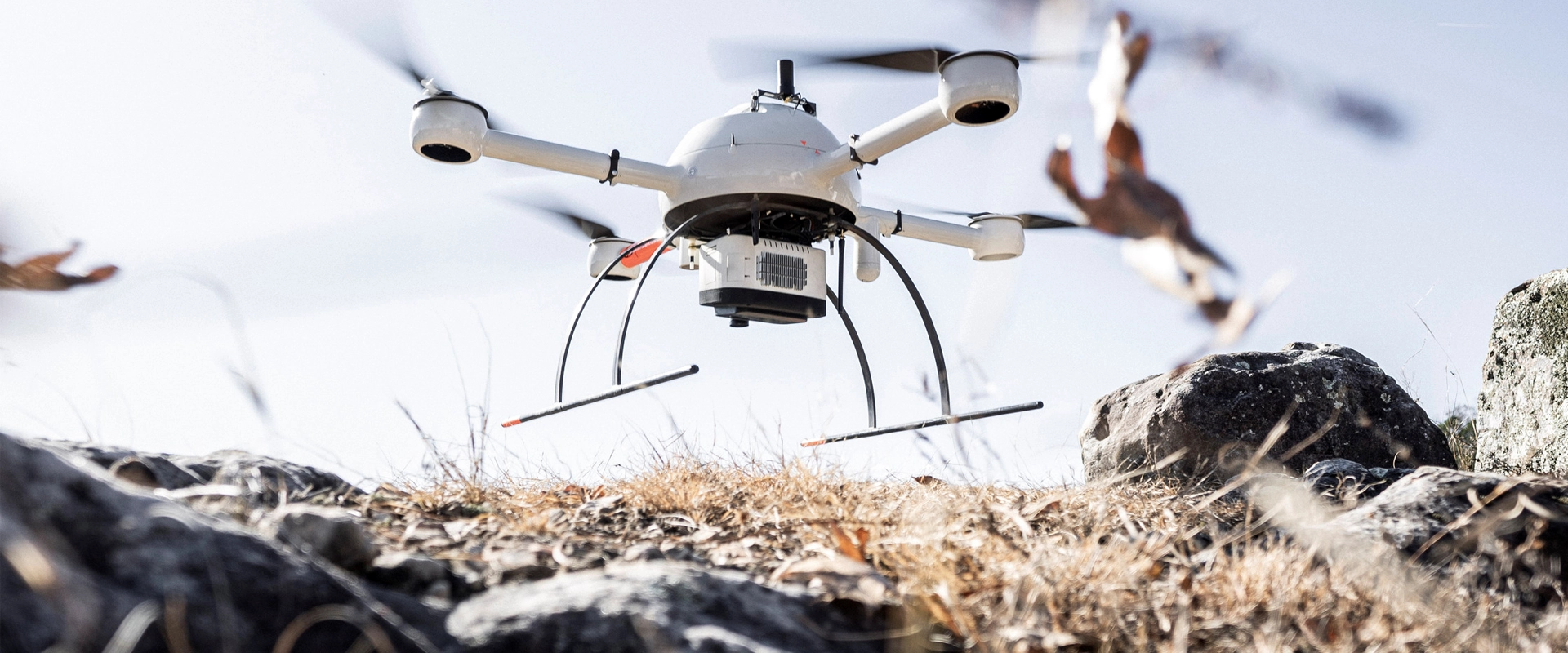
Since 1963Unmanned Aerial Vehicle (UAV or “drone”) surveying and mapping has become a more efficient data collection process for some applications compared to traditional ground-based methods. Faster turn-around times and significant cost savings are the primary reasons why an increasing number of technical professionals are utilizing UAV surveying.
Drones are particularly useful in collecting data for large area projects and in restricted access or unsafe areas. Additionally, UAVs can drastically improve the cost effectiveness of 3D topographic data collection and volumetric calculations. Construction, oil and gas, mining, forestry, and agriculture industries are all taking advantage of the relatively new technology.
How are cities using UAVs to design and build better communities?
Here are four ways your city could benefit from UAV surveying and mapping technology:
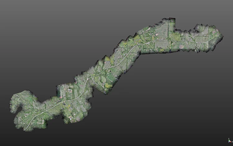
Large urban and rural sites
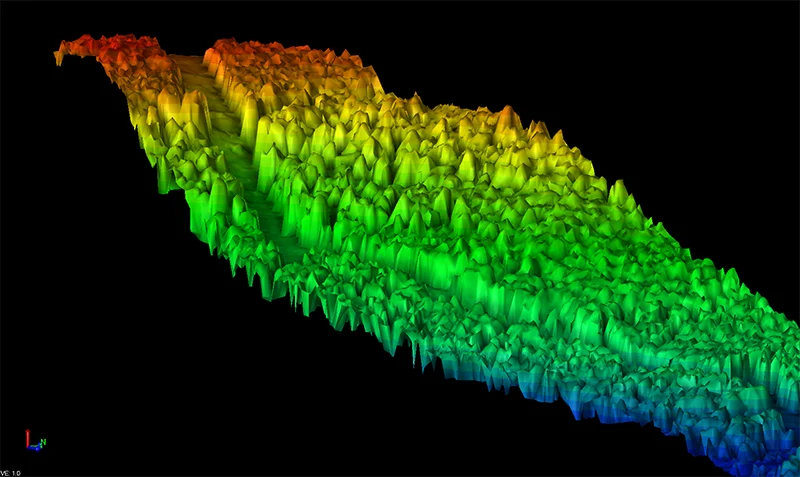
UAVs are uniquely efficient for topographic surveying of large sites. Highways, streets, trails, railway corridors, and stormwater and utility rights-of-ways are all well suited project types for UAV surveying. Depending on project size, significant time savings is possible when comparing UAV surveying methods to conventional techniques. With the ability for a single crew to survey up to 2,000 acres or several miles of linear corridor per day, UAVs achieve levels of time and cost efficiency that are simply not possible using ground-based surveying methods.
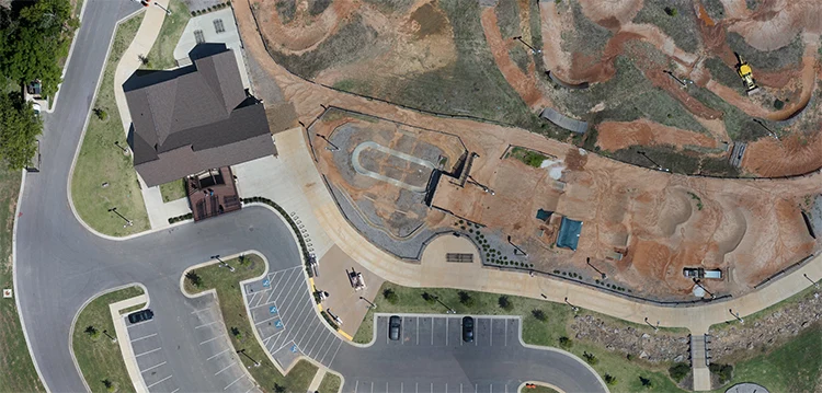
High quality, survey grade photography
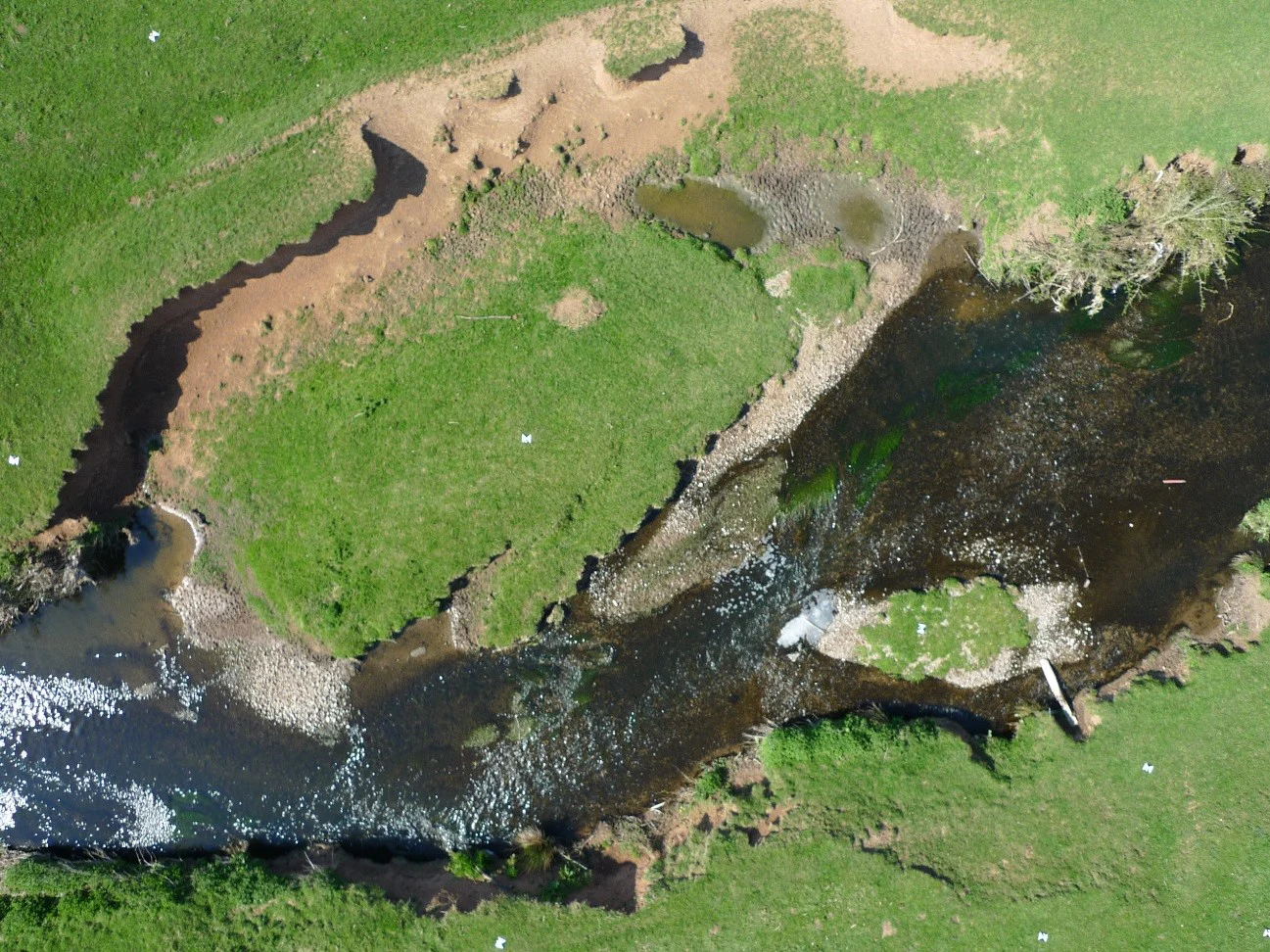
Many cities use UAV technology to periodically capture up-to-date aerial photography of ever-changing building and development landscapes. Advanced drone systems are equipped with cameras that deliver geo-referenced, survey-grade photography at a much higher resolution than popular online map databases. Engineers, architects, planners, and other technical professionals can use this high-quality photography to inform critical design decisions.
Damage assessments
UAV technology has opened the door to smarter and faster damage assessments. Floods, tornadoes, and other natural disasters have the ability to transform city terrain and landscapes, which can have a profound impact on the effectiveness of existing infrastructure. In a post-disaster situation, a city may choose to hire a UAV surveying and mapping consultant to capture the post-damage aerial imagery or topographic data required to update its existing terrain model. Additionally, major natural disasters often require cities to conduct infrastructure inventory assessments spanning hundreds of acres, which is a project type well suited for UAVs.
Unsafe or inaccessible areas
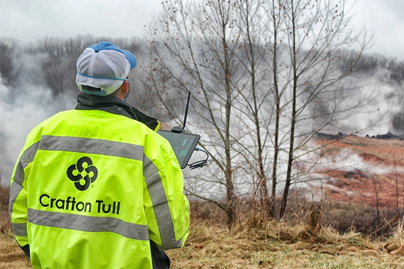
Drones can be used to safely survey mines, quarries, protected wetlands, waste dumps, and other remote, restricted, or dangerous locations. Because many UAV systems employ direct georeferencing technology that does not require ground control points, pilots can stay out of harm’s way while data is collected from the sky. Many advanced UAV systems are able to fly more long distances from the point of take-off.
The Crafton Tull UAV team consists of multiple FAA-certified remote pilots and one licensed private pilot. Many of these pilots are also licensed Professional Surveyors. The team uses the latest equipment and software to deliver efficient, high-quality surveying and mapping data. While the use of drones is not practical in all surveying applications, municipalities should consult with Professional Surveyors and Engineers to find out how UAV technology might benefit their upcoming projects.