PROJECTS
Bull Shoals Area 48 Boundary Survey
Client
U.S. Army Corps of EngineersLocation
Boone County, AR + Taney County, MOServices
SurveyingTeam
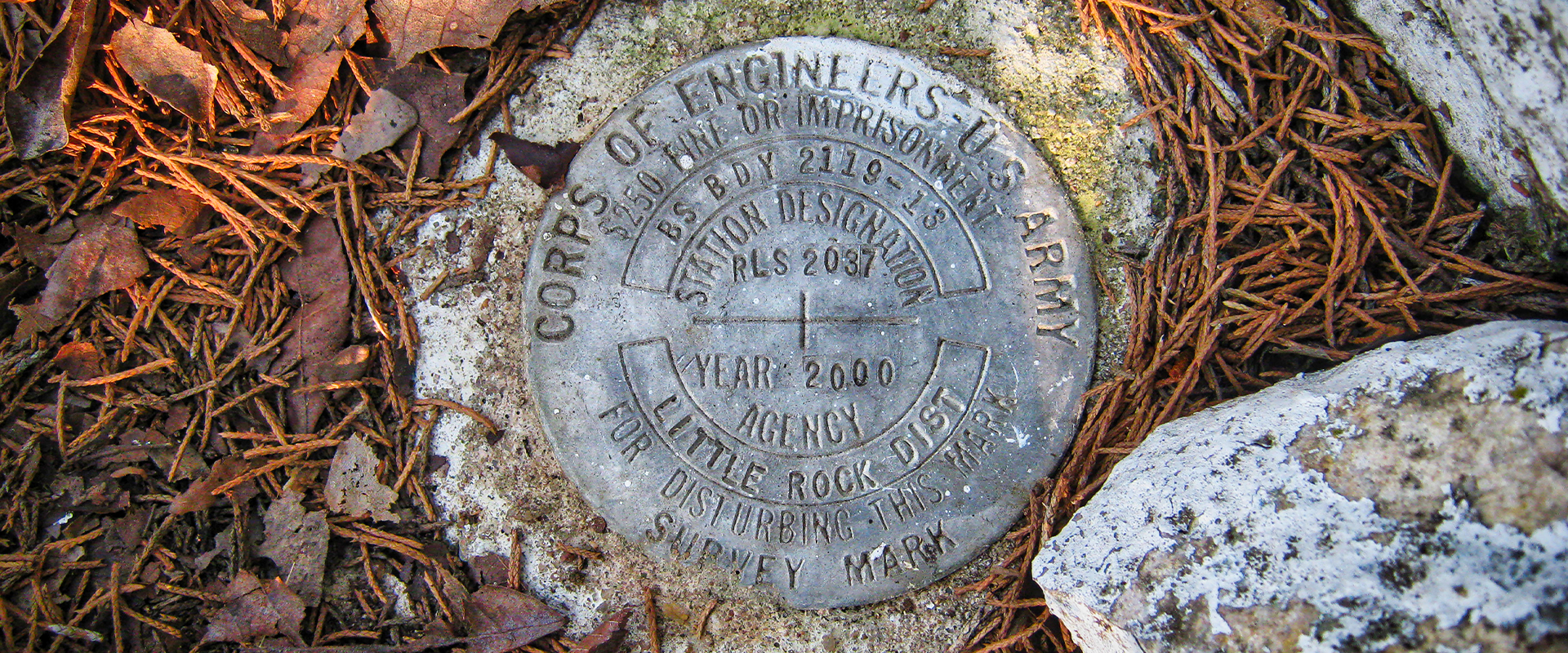
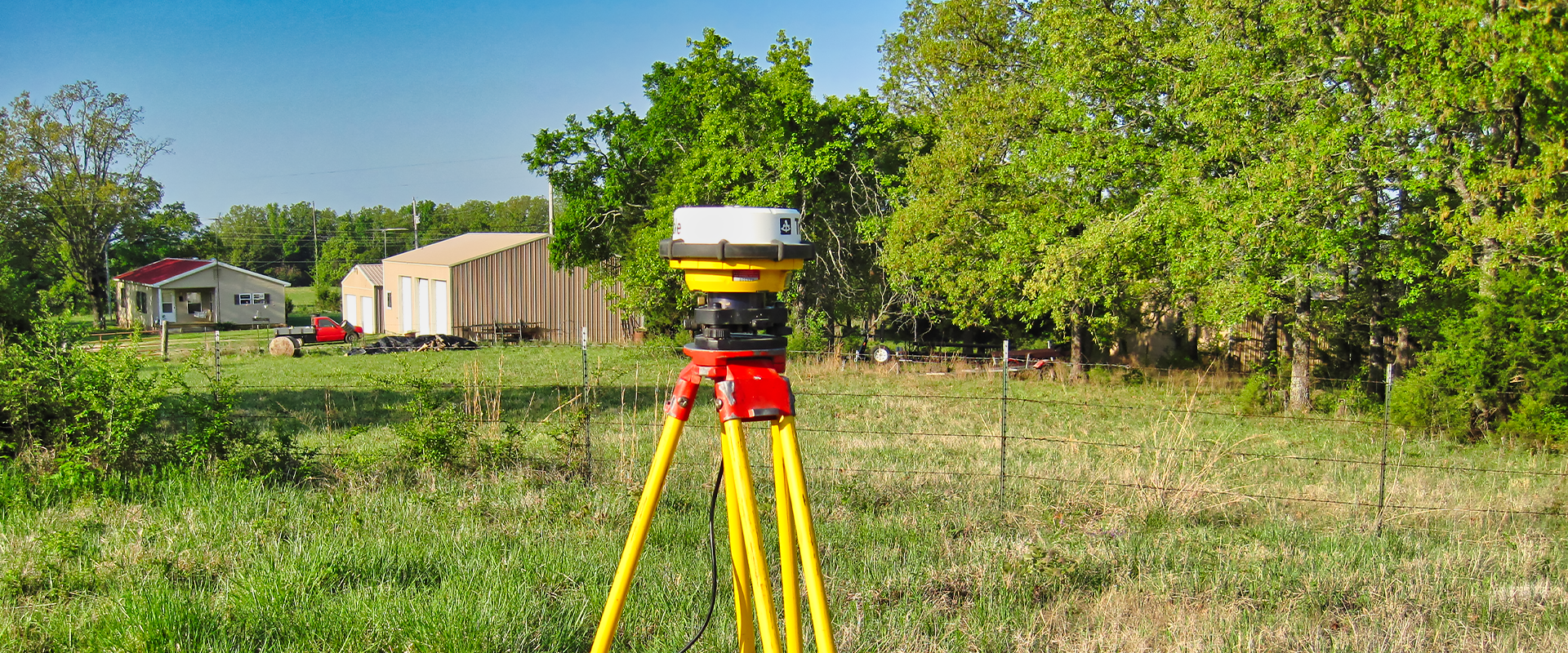
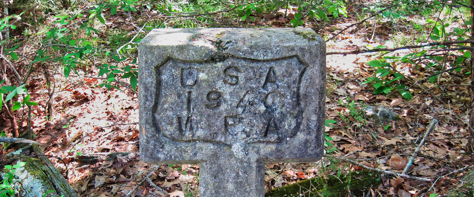
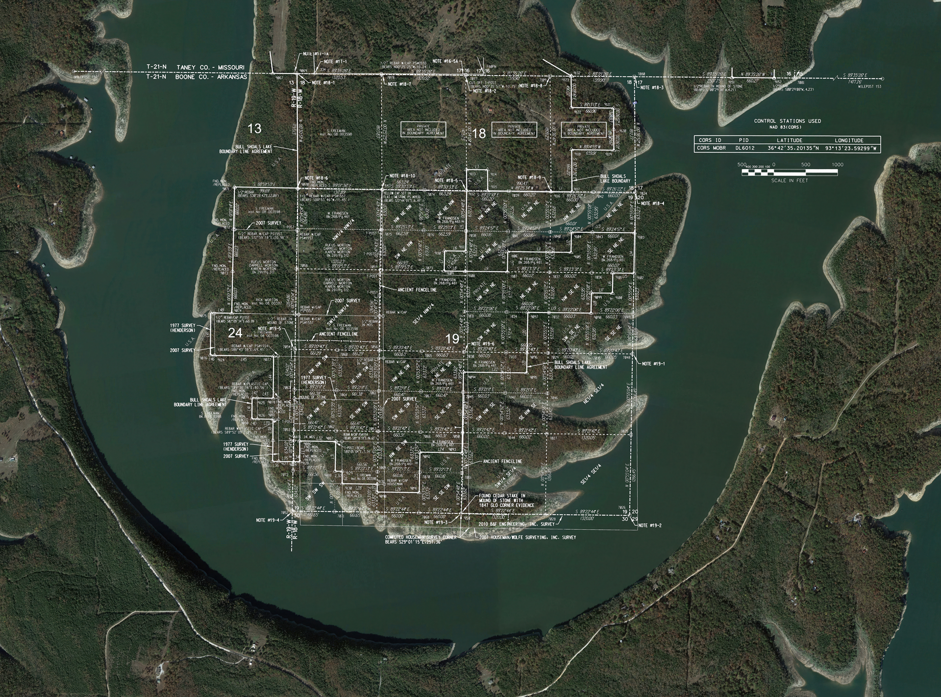
James MontgomeryThe Bull Shoals Area 48 Survey established boundary lines based on the original surveys conducted nearly 200 years ago, when the land was still a territory of the United States, and before the dam was built and the lake created. Surveys conducted by B&F Engineering, a Division of Crafton Tull, were reviewed by the U.S. Army Corps of Engineers, licensed professional surveyors from Arkansas and Missouri, and a third-party surveying firm.
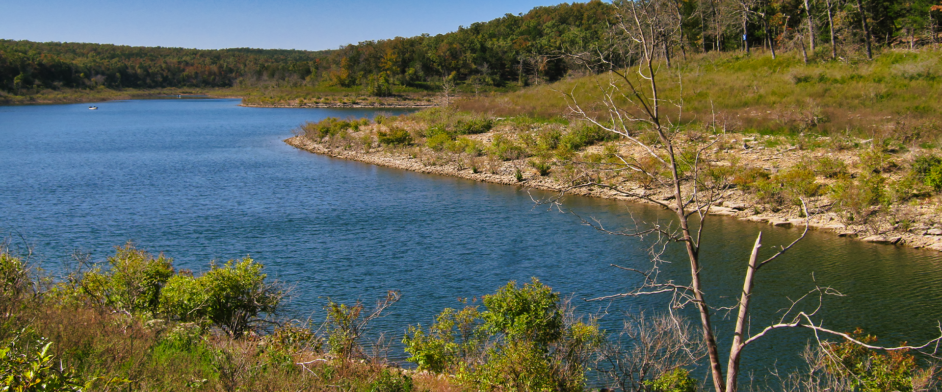
Historical errors, including a 300-foot discrepancy along the Arkansas/Missouri state line, were discovered and evaluated with modern land surveying technology including GPS, robotic total stations, and GIS. Boundaries were marked or perpetuated through this rugged terrain, establishing the Government Fee Take-Line in Area 48 of Bull Shoals Lake. Results from this work supports the USACE’s mission to protect the shoreline while balancing public and private interests.
This project exemplifies the challenges and successes of the land surveying professionals who work to locate original evidence, including evidence from the 1800s, with the purpose of perpetuating these boundaries for future generations.
ACEC Arkansas Award Winner: Surveying and Mapping Technology Category
Client
U.S. Army Corps of EngineersLocation
Boone County, AR + Taney County, MOServices
SurveyingTeam
James Montgomery