PROJECTS
Highway 98 Structures + Approaches Survey
Client
Arkansas Department of TransportationCompletion
2020Location
Columbia County, ARServices
SurveyingTeam
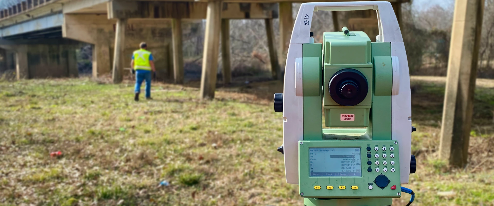
James MontgomeryThis project consisted of surveying approximately 6,900 L.F. that includes two (2) different work segments, encompassing approximately 58 acres total along Highway 98, providing primary/secondary control, full design survey, locating/mapping the necessary PLSS land corners, and establishing the existing highway right-of-way for each segment. The survey was performed in accordance with the Arkansas Department of Transportation’s Requirements and Procedures for Control, Design, and Land Surveys located at https://www.ardot.gov/divisions/surveys/manuals/.
ARDOT Task Order No. D102, FAP No. 9990
The scope included the following task(s):
CONTROL SURVEYS
- VERTICAL CONTROL
- HORIZONTAL CONTROL
- GPS SURVEYS
DESIGN SURVEYS
- TOPOGRAPHIC, TERRAIN, & UTILITY DATA, a “Full Survey” where the surveyor measures and records the location of all pertinent topographic, terrain, and utility features.
LAND SURVEYS
- PLSS & LAND MONUMENTS
- EXISTING HIGHWAY ROW
Client
Arkansas Department of TransportationCompletion
2020Location
Columbia County, ARServices
SurveyingTeam
James Montgomery